
Tour De Helvellyn


TOUR DE HELVELLYN - Saturday 19th December - 2026
OVERVIEW
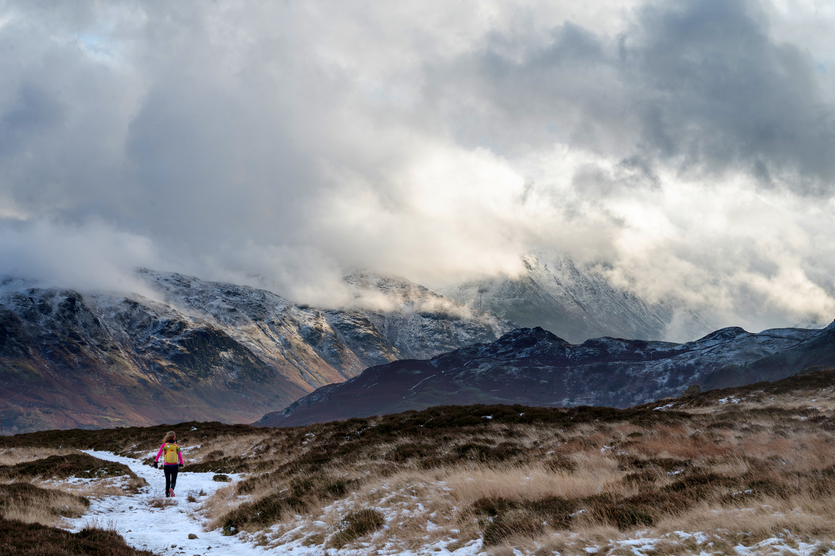
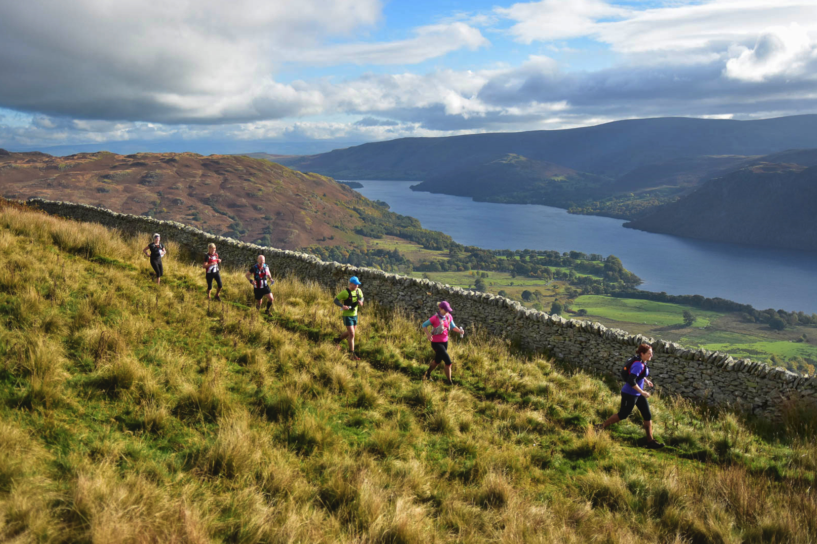
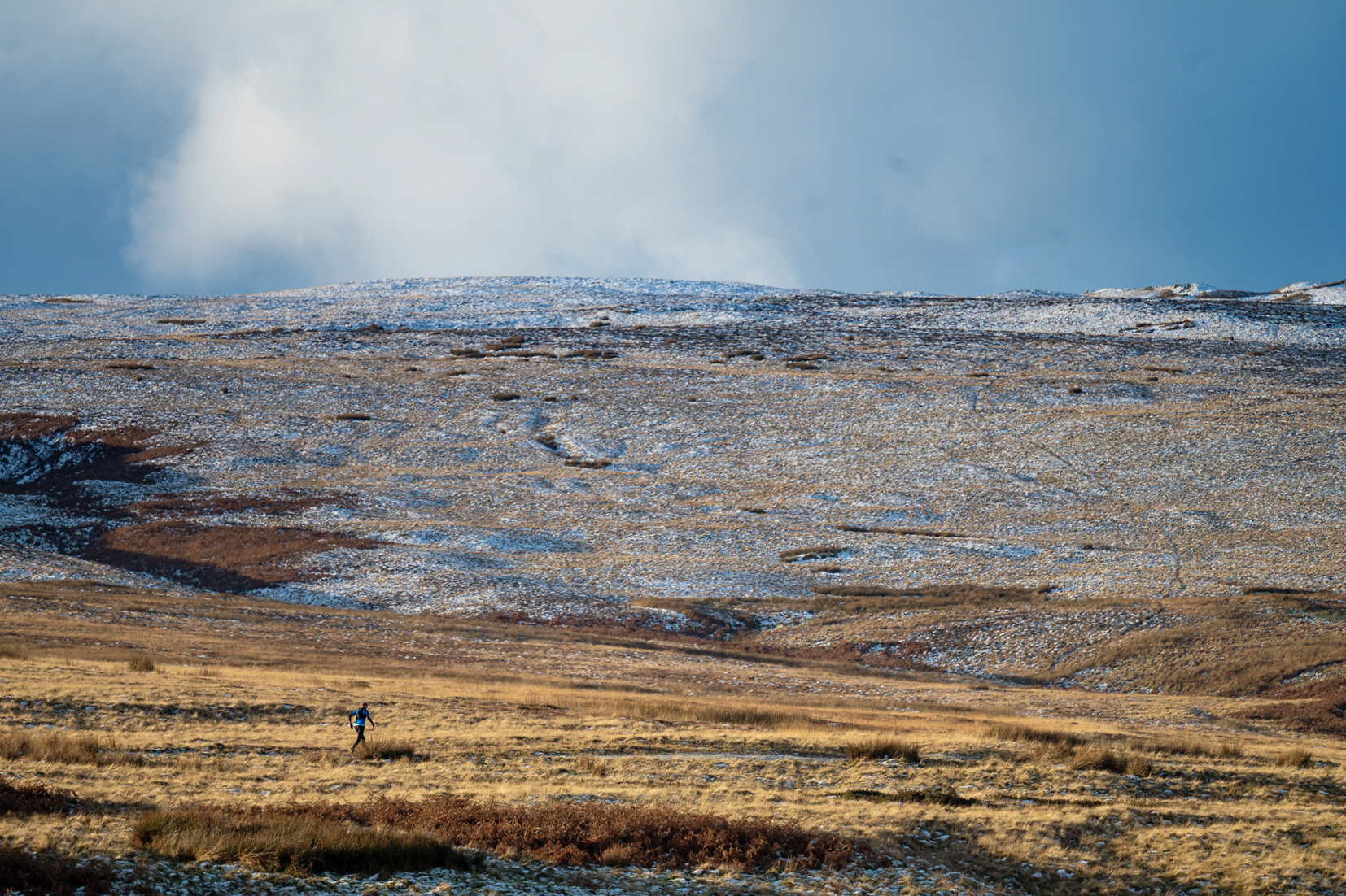
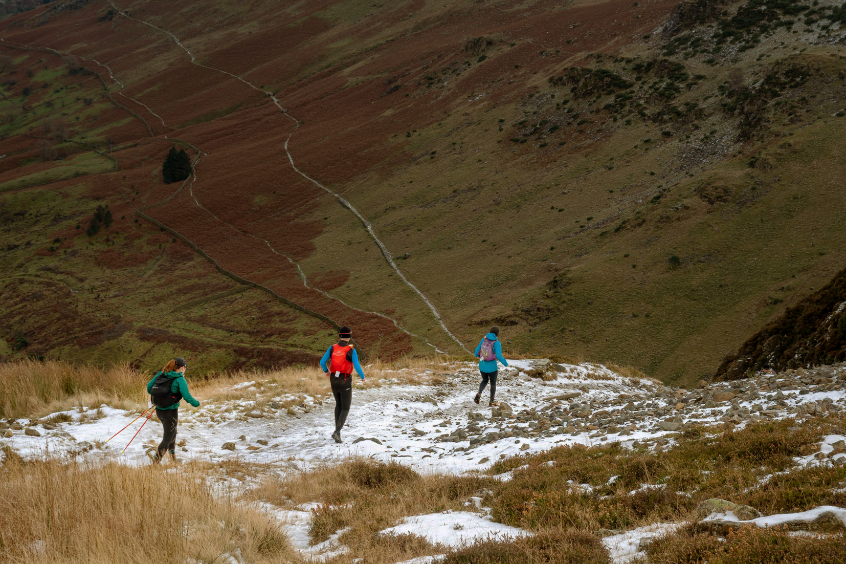
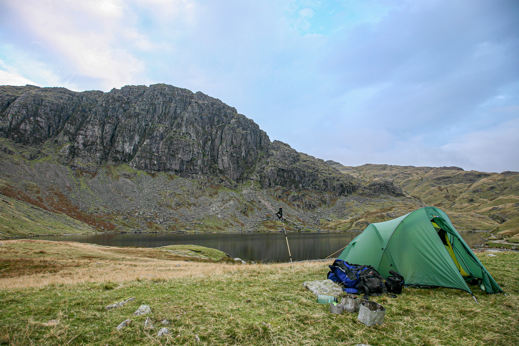
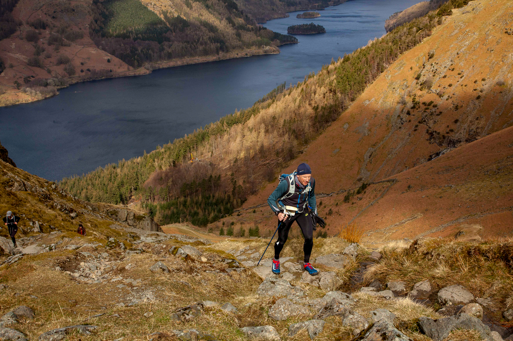
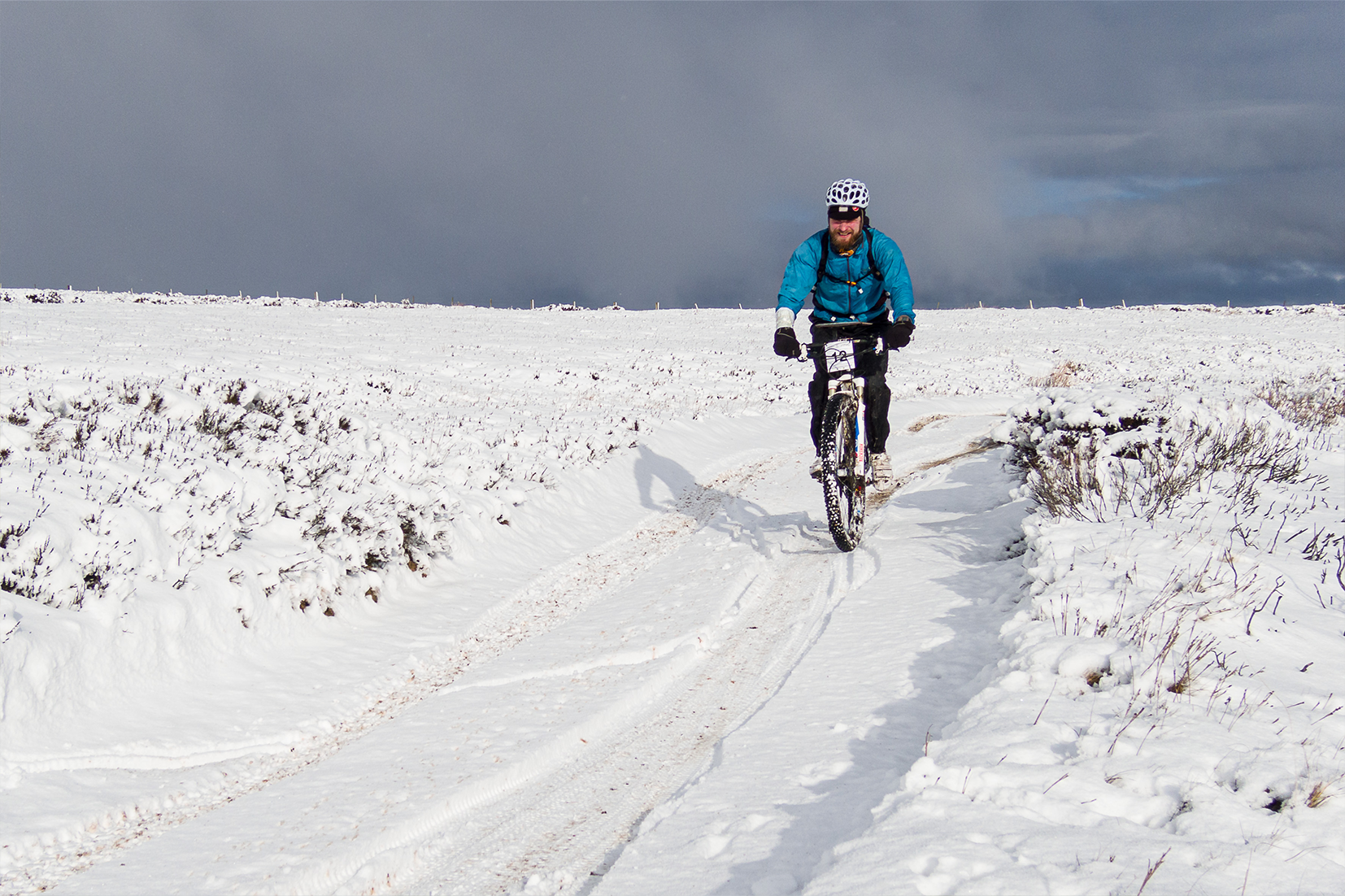
Now well over a decade old, the TdeH has fast become a classic winter ultra run. Traditionally on the shortest Saturday before Christmas, it's a great way to avoid Christmas shopping! It’s popular so book early to avoid disappointment. The route starts at Askham and runs around Helvellyn, mainly on mountain trails and bridleways, climbing to a height of nearly 600m on multiple occasions, and covering a distance of around 38 miles.
This is a 'low key' winter event with minimal support and a focus on winter mountain skills. A winter run of this type is tough and requires good navigational skills, experience and self reliance. While predominantly on good paths and trails, it is an unmarked route and in poor conditions some sections can be very tough to navigate.
Entries are strictly limited to experienced and competent entrants - this is not an event for novice trail runners!
Individual support teams, pacing or 'crew' are not allowed. No spectators at CPs.
It is a condition of entry that you are suitably experienced and have the skills necessary to look after yourself in very challenging terrain and conditions. This is no ordinary trail run. It demands winter hill running experience. We take our kit check VERY SERIOUSLY. If you don’t have the correct equipment, you won’t compete - so please do your homework to avoid disappointment!
NAV4 limits this event to c.200 starters. The entry limit is set to accept 220 to allow for DNS. A waiting list will kick in once 220 have signed up.
After initial entry you can revisit your account to amend and update information IE; if you wish to book accommodation or amend your details.
ROUTE
Starting and finishing at Askham’s Community Centre on the edge of the Lakes, this is a tough circuit around Helvellyn covering 38 miles with around 2000m of total ascent and descent. All of the route follows footpaths, bridleways or minor lanes in a logical sequence around Helvellyn, but it is unmarked and over tough mountain terrain - so fell running and navigational skills are essential. No route description is issued; as competent navigators you won't need anything more than the grid references provided below!
Start and finish at Askham Community Centre (513 237)
CP1 Martindale Church (435 191)
CP2 Side Farm (398 162) opens at 9.30am - closes at 11.45am
CP3 Swart Beck Footbridge (359 179).
CP4 Stannah Beck footpath / Bridleway junction / finger post (321 189)
CP5 Swirls car park (317 168)
CP6 Birkside Ghyll (326 124)
CP7 Side Farm (398 162) cut off 4:30pm
CP8 Martindale Church (435 191)
Finish at Askham Community Centre (513 237)
We'll keep the tea and coffee flowing until you’re ready for the famous 'Joe's Soup' along with more tea and cakes!
EVENT CENTRE / REGISTRATION / START & FINISH
Registration, Start and Finish is at Askham Community Centre, CA10 2PG
Friday Evening - Registration is open from 1900 until 2200 only.
Saturday Morning - Registration is open from 0600 until 0900.
You may start at any time from 0700 - 0930, but be aware that Control 2 at Side Farm, Patterdale, does not open before 0930 and closes at 1145. You choose your start time, but you must not arrive at Side Farm before 0930!
Kit Check occurs in the pre-start area just before you leave the Community Centre.
KIT
Your kit will be checked in the pre-start area.
Waterproof Jacket with hood, waterproof over trousers.
Long sleeved thermal ‘base layer’ shirt, plus an additional long sleeved micro-fleece mid-layer.
An 'Emergency / Static' fully insulated and hooded synthetic jacket.
Warm hat and gloves/mitts
Long thermal leg wear. Shorts may be worn if conditions and personal preference allow – but long leg wear must be carried, and in addition to over trousers.
Headtorch – even for the fastest, even if it is just a small emergency light.
Food / drink – and plenty of it!
Mug and/or drinks bottle (three roadside CPs will provide drinks: water squash, tea, coffee).
Compass, whistle, SURVIVAL BAG and emergency food.
First Aid Kit - Minimum of one 5x5cm wound dressing and a roll of tape or bandage.
A hardcopy / paper map suitable to navigate you around the route, or at least get you safely off the fells. A GPS or SATMAP is not a map and not acceptable. Map choice is yours. I recommend Harvey's Lakes East Ultra Map, as it covers our LM40 as well.
LOGISTICS & ADDITIONAL INFORMATION
Parking for cars and campers is typically available on-site at the Community Centre and adjacent overflow field but will be confirmed nearer the time via the email you supply at signup. There are also numerous accommodation options available in the village of Askham.
A 'Final Info' email will be sent to all entrants via the address you supply at sign up in the week before the event. This is very important info, much of it weather dependent; such as ground conditions, parking, etc. Please keep any eye out for this communication and any related updates on social media.
AND FINALLY
All / any event updates will be issued via the email you supply at signup so please type carefully!
Not wishing to sound too grumpy but NO, we haven't got a GPX file of the route! There are a few places where different route choices exist, hence no set route. Also see previous comments about navigation competence!
If you can't plot the checkpoints from the grid references, and see the obvious routes between them, This event is not for you. We’d love you to partake in the future - but for now why not consider a 'NAV4: Navigation for Runners' one day course. #skillup #smj #dontbeasheep
OK - Lectures over! Let’s be safe and have some fun – see you in December!
Soup n Hugs!
Joe and the NAV4 Adventure team.